Grenzen
Bachelor project

Where
New Design University
St. Pölten
What
Bachelor Project
When
2019

“Smart way how to wake up the people curiosity, complexity of thinking and decision making.”
– IIID Jury
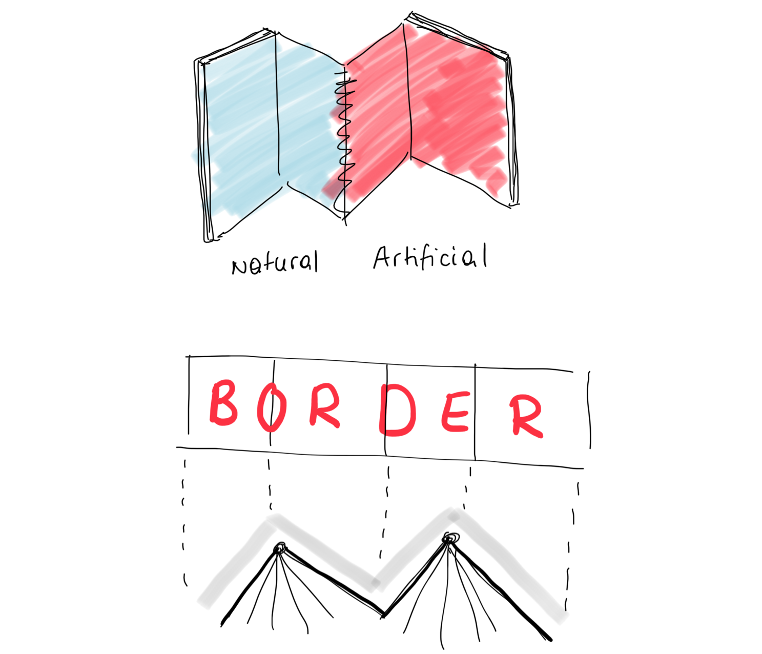
My bachelor project “Grenzen” is dedicated to geopolitical separations, differentiating between “natural” and “artificial” borders. The difference has an important role throughout the whole concept, separating the book in two parts and a neutral center. The projects also includes a digital map.
The first part of the book is about “natural borders” (oceans, seas, lakes, rivers, mountains & deserts). Followed by a natural part, displaying the survey results of the question “Which geographical and political borders do you know”? The second part is about “artificial borders” (countries and the fences and walls that fortify them). Different colours and papers clearly separate the topics. Like in an atlas, different maps guide the reader through the book – continent by continent. The book is not about geographical orientation but rather about the forms and sizes of the different borders. Scales enable comparability and infographics show the facts behind the forms.
Through the digital map, a more detailed interaction with the topic is made possible. The user can literally explore the worlds borders by getting information about size, reasons.. and really understanding what the situation looks like through additional images.
In 2020 the project was given with the bronze IIID Award by the International Institue for Information Design. You can find my submission here.
The project was displayed at the Best Of 2019, exhibiton by New Design University. You can find my bachelor presentation slides with more info on fonts, colors, grids etc. here.
The Inspiration & Process
I had the idea for the project when I was crossing the Austrian-German border one time. This border crossing is extremly easy to pass, in fact you don't even notice that you are entering a different country. This got me thinking, how many people – especially in Europe – probably take crossing borders for granted.
For the look of the project, I was inspired by different kinds of maps.
I started by collecting lots and lots of data, filling spreadsheets and pages with first notes & scribbles.


The Book


The Digital Map
Wanna see it live? →